

Regional Land Use Categories
Not all land in South East Queensland is suitable or desirable for development. A key objective of ShapingSEQ 2023 is to provide guidance and direction on how we can use our available land for the best possible outcome.
ShapingSEQ 2023 identifies three land use categories used to classify land across the region. These are:
- Urban Footprint identifies land which can accommodate the region’s growth needs to 2046 and includes established urban areas and land with potential for new development.
- Rural Living Area (RLA) identifies areas for rural residential development in locations that provide housing and lifestyle choice while limiting the impact of inefficient use of land.
- Regional Landscape and Rural Production Area (RLRPA) is an area that supports important values that help sustain the region, socially, economically and environmentally.
These three land use categories provide a framework for delivering efficient urban and rural residential growth, ensuring effective urban form, economic hubs, and the protection and sustainable use of South East Queensland’s natural assets, landscape and productive rural areas.
Data-driven planning
ShapingSEQ 2023 has been developed with more, and better, evidence than we’ve ever had before.
ShapingSEQ 2023 is based on a nation-leading approach to data-driven integrated land use and transport planning. We have used best practice datasets and methodologies to better understand where and how people want to live and integrated this with infrastructure and transport planning, while considering environmental and hazard areas to determine appropriate housing targets.
The Model for Urban Land Use and Transport Interaction (MULTI) considers a range of data sources including economics, transport modelling, demographics, and land use planning.
The outputs of the model are used to appropriately size the Urban Footprint to ensure it can cater to our current and future housing and employment needs.

-
DAMS mapping
Find out more
-
Download high resolution versions of ShapingSEQ and regulatory maps
Find out more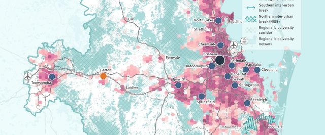
Last updated: 09 Jan 2024