

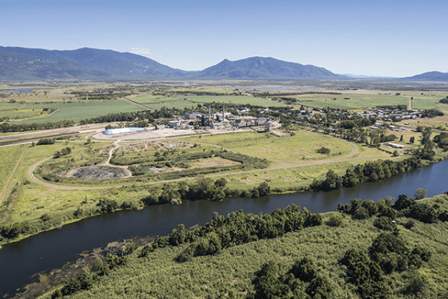
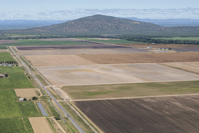
Mapping
The department has made a range of spatial mapping data available to the public, including interactive maps and map products. Subscribe to mapping alerts. For more information on mapping see our FAQs below.
-
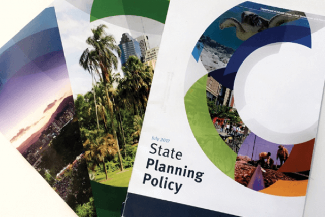
State Planning Policy interactive mapping system (SPP IMS)
To support the State Planning Policy, matters of state interest are spatially defined as layers included in the State Planning Policy interactive mapping system (SPP IMS). The mapping helps local government, the community and industry understand and interpret where and how state interest policies apply in land use planning and development.
-
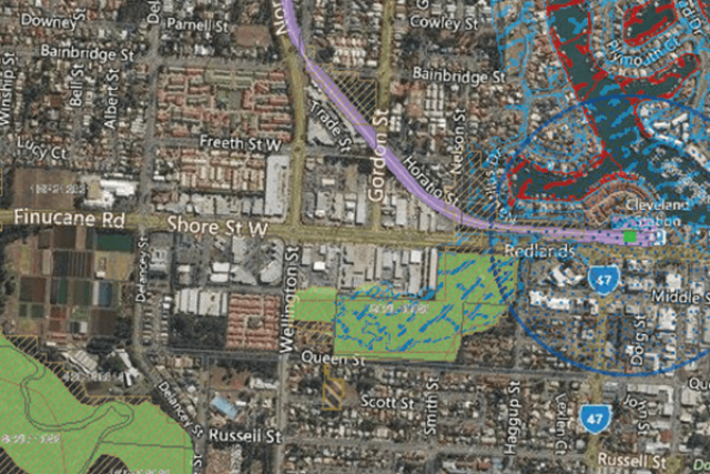
Development assessment mapping system (DAMS)
DAMS can help you to identify development assessment triggers and referrals under the Planning Regulation 2017.
Mapping for particular matters
-
State Planning Policy assessment benchmark mapping
To support the State Planning Policy assessment benchmarks, matters of state interest are spatially defined as layers included in the Development Assessment Mapping System. The mapping helps local government, the community and industry understand and interpret where and how assessment benchmarks apply.
-
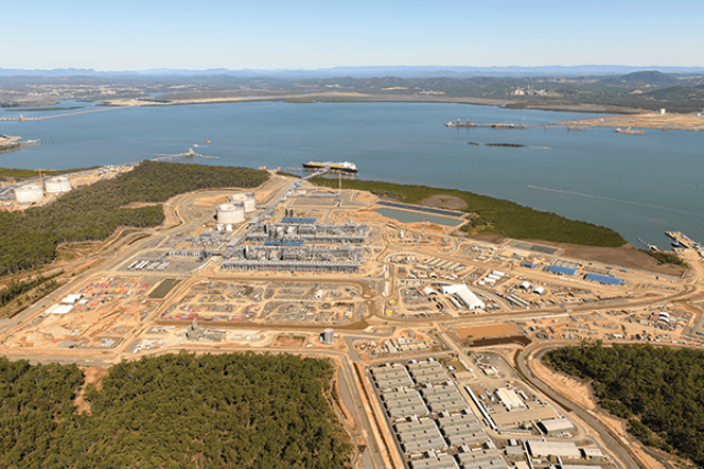
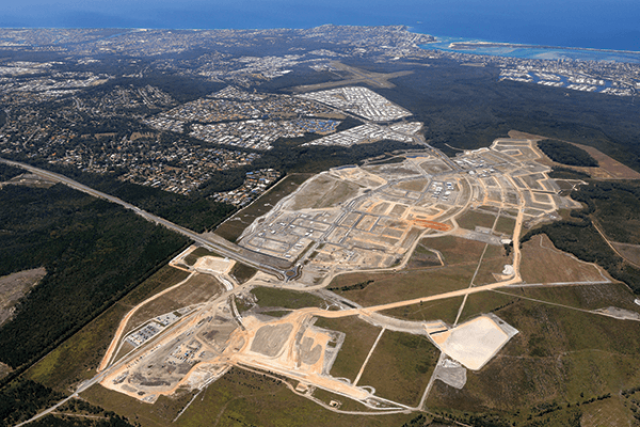
State development area mapping
Identifies state development areas (SDAs) – clearly defined areas of land established by the Coordinator-General to promote economic development in Queensland. More information on SDAs.
-

Priority development area mapping
Identifies land declared for Priority Development Areas (PDAs) under the Economic Development Act 2012, identified for specific accelerated development with a focus on economic growth and development for community purposes. More information for PDAs.
-

Non-State Assessment and Referral Agency DA mapping
Includes information which may be relevant to the assessment of development applications, but which is not directly related to matters of interest to the State.
-
Regional plan mapping
Shows regional land use categories and development areas for regional plans. Further information on regional plans can be obtained here.
-
Areas of regional interest mapping
Shows areas of regional interest under the Regional Planning Interests Act 2014. Further information on areas of regional interest.
-

Infrastructure designation mapping
Identifies land designated for infrastructure under the Integrated Planning Act 1997, the Sustainable Planning Act 2009, and the Planning Act 2016. More information on infrastructure designations.
We maintain the State Planning Policy interactive mapping system (SPP IMS) and Development assessment mapping system (DAMS). These provide mapping for a number of different functions in the planning system related to land use planning and development assessment.
You can view previous mapping amendments below.
-
Our SPP IMS and DAMS maps are amended from time to time. A summary of previous mapping amendments is available below.
-
Why don’t all state interests have mapping layers?
Mapping layers only apply to some matters of interest. There are some matters for which there is no corresponding geographical mapping information. Likewise, some maps may have partial information, which will be added to as additional data becomes available. Some matters of interest have multiple layers.
The DA mapping system is updated regularly and, in some case where mapping is not yet complete or available, it will be added in the future.
Where does the mapping come from?
The mapping data comes directly from the relevant state agency for that matter of interest.
The DA mapping system is updated regularly and will be refined and expanded over time based on new or additional information. Therefore, it represents the best information available at a certain point in time.
What is SARA DA Mapping?
The SARA DA Mapping layers are geographic information system (GIS) mapping layers related to matters of interest to the state when assessing SARA development applications. Some SARA layers have been included to assist the user in identifying which assessment and referral triggers under the Planning Regulation 2017 may apply to a particular site.
Is there more information available about the recent update to the Queensland waterways for waterway barrier works mapping?
The Queensland waterways for waterway barrier works mapping has been updated to incorporate updated watercourse and wetland area input datasets. More information is available at:
Additional mapping products
A range of PDF maps are also available related to:
Helpful links
Mapping alerts
Subscribe and stay up to date on mapping changes.
Last updated: 10 Nov 2023